Tracking
the Journey
-
Distance to go:
0 Mi
Distance
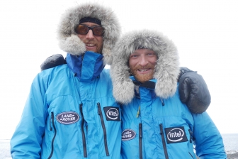
Ben and Tarka will cover 1800 miles starting from Scott's Terra Nova Hut at the edge of Antarctica to the South Pole and back to the coast again. That's equivalent to 69 back-to-back marathons hauling up to 200kg each (the weight of roughly two adult men) of kit and supplies necessary to survive.
Distances here are shown in statute miles.
Live tracking
Track Ben and Tarka’s journey as they retrace Scott’s original 1910–12 Terra Nova expedition. Starting at Scott’s Hut they will traverse the Ross Ice Shelf, climb nearly 8000ft on one of the world’s largest glaciers, the Beardmore Glacier, on to the Antarctic Plateau; and onwards to the South Pole. From the Pole it’s back the way they came. A total of 1,800 miles, unsupported, on foot - the longest unsupported polar journey in history.
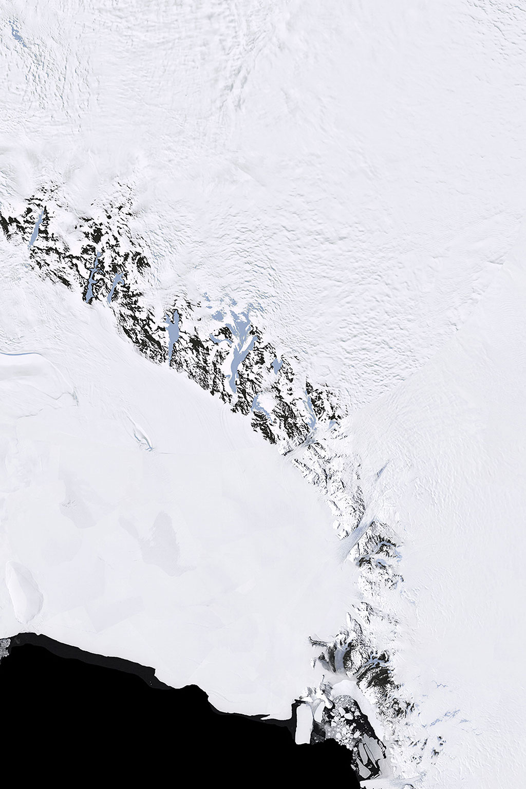 Ross Ice Shelf
Beardmore Glacier
Antarctic Plateau
South Pole
Scott’s Hut
Ross Ice Shelf
Beardmore Glacier
Antarctic Plateau
South Pole
Scott’s Hut
Latest post
Google Earth
In addition to this map, you can download data for Google Earth to follow the team’s progress. Hourly updates are expected for their position.
Note: You may need to install Google Earth before you can view this data. The tracking information will automatically update – no need to download the file more than once.
The total journey is approximately the same distance as from Paris to Moscow, or from the surface of the earth to its core.